The James River watershed covers almost one million acres of land in parts of 8 counties in southwest Missouri, from Wright and Webster County all the way to Table Rock Lake. The watershed has lots to enjoy, including many floatable rivers and creeks, public lands, and scenic drives. Explore the watershed to “connect with what you protect” by gaining a new appreciation for all the basin has to offer.
Let’s Float Down the James River!
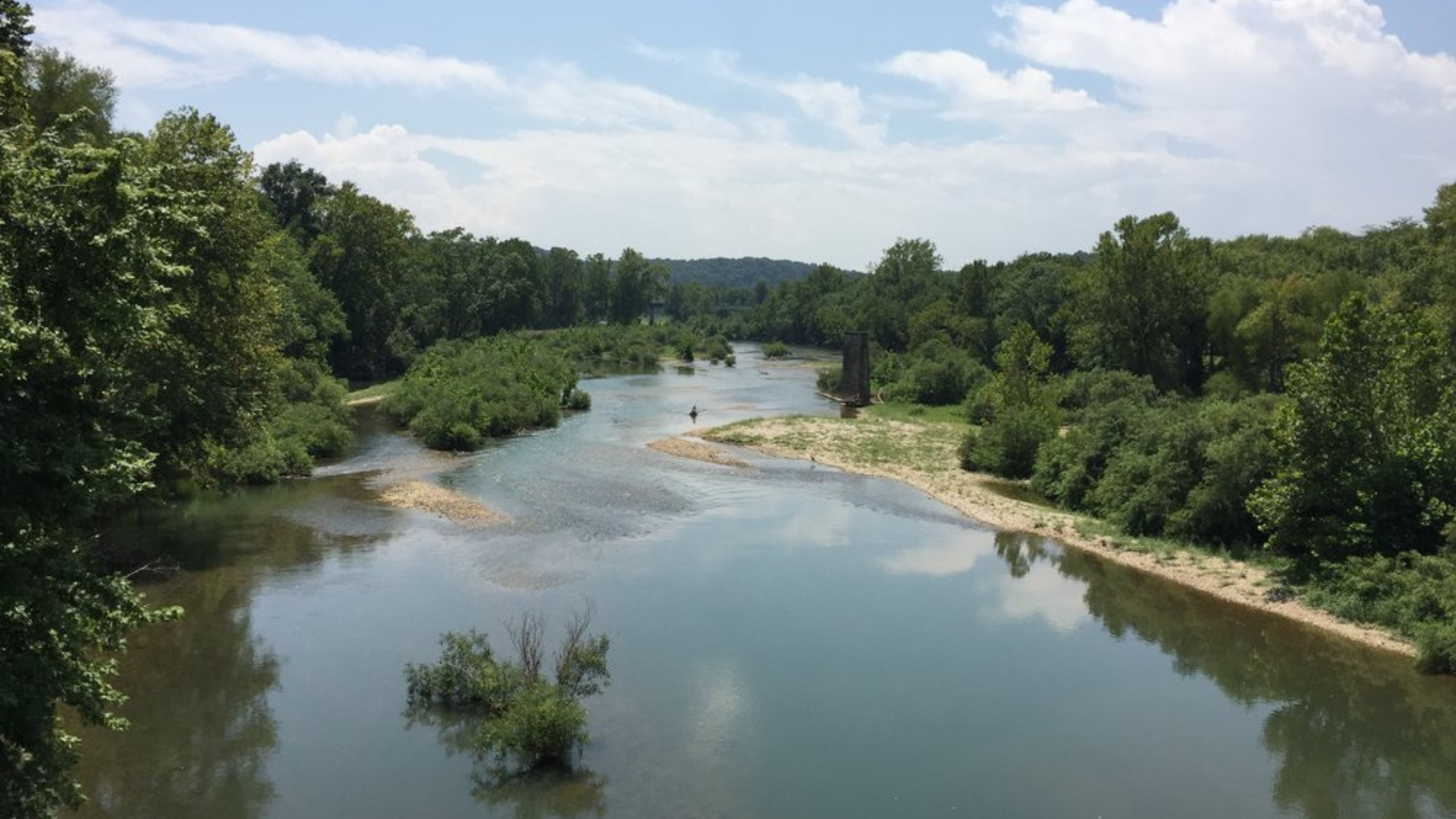
The James River is renowned for its serene float trips. With gentle currents, it provides an ideal setting for leisurely floating excursions. Float enthusiasts can drift along the river, enjoying the peaceful surroundings, lush landscapes, and occasional wildlife sightings. It's a favored destination for those seeking a relaxing and immersive float experience in the heart of nature. The length of a float trip on the James River can vary depending on the chosen route. Float trips typically range from a few hours to a full day, offering flexibility for different preferences and time constraints. The James River has around 20 miles of floatable water with multiple access points, 9 of which are highlighted below.
Don’t limit yourself to the James! Tributaries to the James offer wonderful floating opportunities, including the Finley River, which is included in the map below.
Access Points
Upper James:
Joe Crighton Access
Southwood Access
Lake Springfield
The Upper James is known for its clear water and scenic beauty. Expect a mix of riffles and calm stretches.
Middle James:
Tailwaters Access
Delaware Town Access
Shelvin Rock Access
Hooten Town Access
This stretch is known for its natural beauty, featuring the Ozark landscape, riffles, and small rapids. It’s a great option for those who want to enjoy a tranquil and scenic float while experiencing the gentle challenges of the river.
Lower James:
H.L. Kerr Access
Ralph Cox Memorial Access
This section of the James River offers a more exhilarating experience with Class I rapids. The river winds through the Ozarks, providing a combination of excitement and picturesque surroundings.
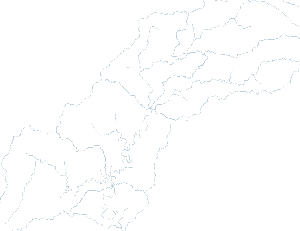
Map of river access points for the James River and Finley River. Information comes from the Missouri Department of Conservation’s A Paddlers Guide to Missouri book and other online resources. Information is correct at the time of publication, but it is up to the paddler to follow local laws and regulations.